Hack the City challenge brings ideas for improving wayfinding in Cambridge
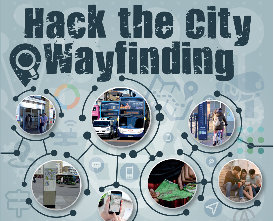
An innovative ‘Hack the City’ wayfinding challenge has brought a range of creative and practical ideas for improving navigation around Cambridge, which will be displayed at the Future Transport event this week.
The one-day challenge was set by the Smart Cambridge programme in collaboration with Cambridge Hack as part of the Greater Cambridge Partnership’s ‘Big Conversation’. It was kindly supported by Cambridge Association of Architects, Cambridge Forum for the Construction Industry, Smithson Hill and the Bradfield Centre.
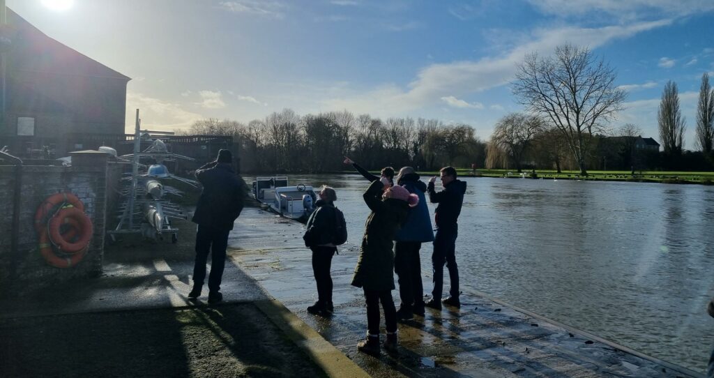
Thirty-three people formed seven teams to find their way around the city as if they were first-time visitors arriving at Cambridge Railway Station with just a few hours to explore on Saturday 25 November.
After gathering evidence, the mixed teams of techies, residents, planners and students headed for The Bradfield Centre at Cambridge Science Park to share their experiences, develop their ideas and present them to a panel of judges: Jeanette Walker, Director of the Cambridge Science Park, Francois Penz, Head of the Department of Architecture at Cambridge University and Martin Lucas-Smith of the Cambridge Cycling Campaign.
A range of ideas were generated using the fast pace and collaborative work of this hack-style event, where participants were given a selection of creative and service design techniques to help refine their thoughts. This resulted in winners in three different categories:
• The ‘Best Wayfinding Idea’ was won by the Architects team who suggested that local people could be employed to provide mobile tourist information and offer ‘virtual reality’ experiences that are more flexible and friendly than signage.
• The Best Digital Wayfinding Idea went to the ‘Legends’ team who mooted using signs on lamp posts to create themed trails and embedding voice recognition technology to provide digital wayfinding, which could be multi-lingual.
• The ‘Most Creative Wayfinding Solution’ was awarded to the ‘Hobson’s Choice’ team, who created a ‘snap map’ of landmarks for use on a smart phone to navigate alternative routes on themes such as the story of Hobson’s Brook.
The Monks family from Trumpington also took up the challenge calling for better signage for pedestrians. Other ideas included a ‘pick and mix’ app, wayfinding maps on bins and more consistent static/digital mapping and signage.
Watch the presentations filmed by Antony Carpen. https://www.youtube.com/playlist?list=PLwEUs8UyvFATQrxeg2wSDt_Z_eHmiqmRR
Related Posts
Connecting Cambridgeshire secures £220K funding from Smart Infrastructure Pilots Programme competition

Public and private sector unite to research self-driving vehicles in Cambridge