What is a ‘Smart City’?
There are as many definitions for smart cities as there are ‘Smart Cities’, however generally a smart city (also smarter city) uses digital technologies to enhance performance and wellbeing, to reduce costs and resource consumption, and to engage more effectively and actively with its citizens. Key ‘smart’ sectors include transport, energy, health care, water and waste. Although some of the examples of Smart Cities can be conceptual; there are some very real examples where technology has delivered benefits to cities http://youtu.be/-kiHJahO_9Y
Within the context of the City Deal ‘Smart City’ technologies are likely to be about:
- Integrating digital technology into the city to create a mobility system which supports economic growth and improves quality of life.
- Supporting innovation and the local economy by providing an open platform for development.
- Enabling the more efficient delivery of public services
Although termed ‘Smart Cities’ it is important to note that the technologies can be deployed across the whole of Cambridgeshire
How smart is Greater Cambridge?
Across the County we have infrastructure that is connected and produces data, this presents an opportunity for us to join infrastructure up and to use it in a smarter way. This has been mapped across the Greater Cambridge area and can be seen at appendix B.
The building blocks of a ‘smart city’
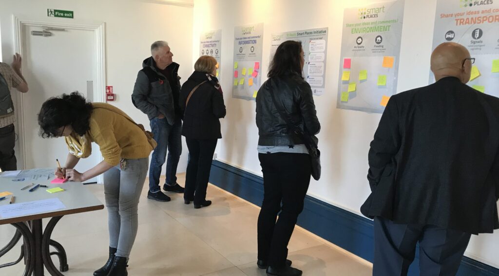
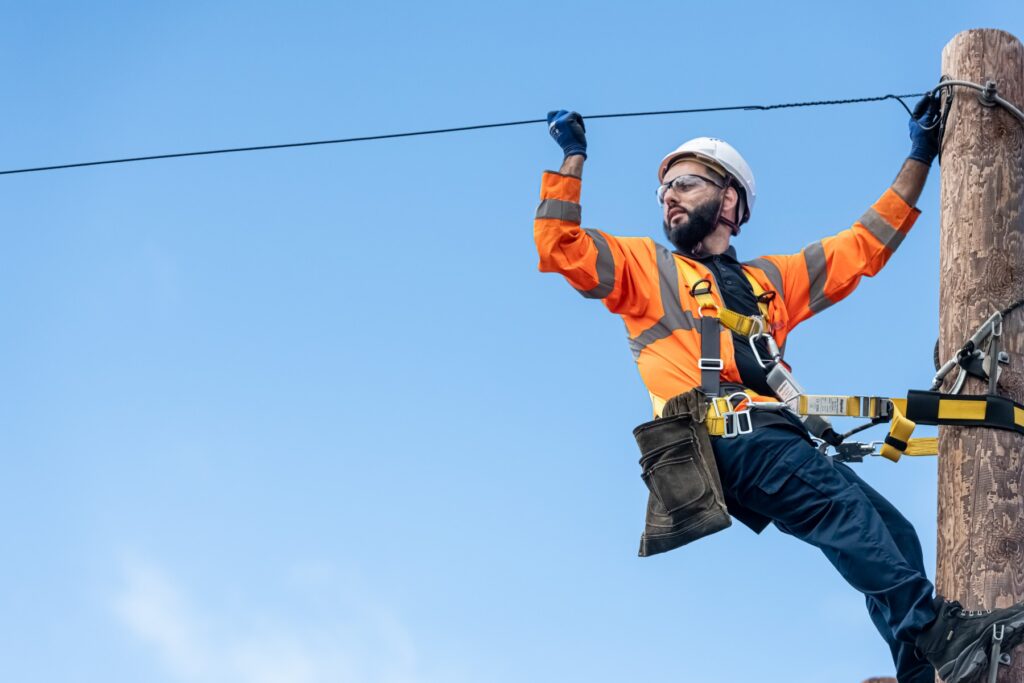
Digital connectivity – Connectivity is a key component of a ‘smart city’, it allows connected devices to share data and to link up, it ensures that residents can access digital solutions through their smart phones or computers and by being ubiquitous allows as many residents as possible to participate in the city. There are a number of current strands of work that are looking to improve the connectivity offer within the Greater Cambridge area. Connecting Cambridgeshire is rolling out superfast broadband to areas which aren’t currently covered by commercial providers. They are helping the University expand their current fibre network by facilitating the use of County Council infrastructure such as the ducting in the Guided Busway. In return the University are helping us to improve and extend free Public Wi-Fi within open spaces in Greater Cambridge building on the offer that was put in place for the Tour de France.
The open spaces Wi-Fi is part of a wider network with public buildings that is being developed as part of the ‘super connected cities’ programme which is rolling out free Public Wi-Fi to over 60 public buildings in and around Cambridge including Park and Ride sites, libraries, council offices, children’s centres, sheltered housing, leisure facilities and community hubs. Link to Connecting Cambridgeshire – http://www.connectingcambridgeshire.co.uk/
Sensors – sensors allow you to quantify a city by measuring things like traffic flows, air pollution, parking space availability, energy use etc. This data can then be brought together and analysed allowing better management of the city and greater insight particularly when you start combining disparate data sets. It allows you to measure the impact of interventions and to better plan for future work. It can also help drive efficiencies in the delivery of public services by informing more focussed services.
A link to a short film which shows what Chicago is doing with sensors- http://youtu.be/wx8zy3EgJF4
Internet of Things – The amount of objects connected to the internet is growing at a phenomenal rate, it is estimated that by 2020 there will 40bn connected devices. The internet of things looks to facilitate devices finding each other and communicating/sharing data, allowing devices to start to behave in more intelligent ways.
Below is a link to a short film on the Internet of Things and Government report written by the Chief Scientific Officer which includes a section on transport. – http://goo.gl/lecEaJ (pages 23-25 discuss potential transport applications) short video on IOT – http://youtu.be/uEsKZGOxNKw
Data
Big Data – Having collected data from sensors and other sources a city now need to use data management and science techniques to draw insights and to use it to deliver better outcomes for the city. This type of data is often referred to as big data due to the quantity of data that can be produced. With any type of data collection work issues of privacy and security will need to be addressed and would form an important part of any work.
The document linked to below gives an idea of how big data could be used to manage traffic – http://goo.gl/OrKtzV
Open Data – A ‘smart city’ will where possible open its data to drive innovation within the market and to allow developers to deliver solutions to some of the problems cities face. This has been particularly successful in London where the London Data Store http://data.london.gov.uk/ was set up to give residents and business access to their data. The data-store has found that transport data has been the most used and 450 transport apps have been built using their data. Although many of these fall by the wayside Citymapper recognised as one of the best transport information apps was initially developed using London’s data. Cambridgeshire currently has an Open Data site which is a partnership but maintained by the County Council and can be found at http://www.cambridgeshireinsight.org.uk/ . From this data UCL have put together a City Dashboard which gives real time information about London http://citydashboard.org/london/
The paper below looks at the potential role of Big Data and Open Data in transport – http://goo.gl/MYcnW9
A blog on the opportunities for digital to deliver better public services by the Chief Executive of Sunderland Council – http://goo.gl/E2fvm3
Examples of Smart City technologies;
Smart Parking – A proportion of the traffic on the roads in Greater Cambridge will be made up of people looking for parking spaces. This takes capacity away from the road network and increases pollution. Smart parking looks to use real time and static parking data to allow motorists to be directed to parking spaces based on their personal preferences in a more efficient manner. Data is already generated by the Car Parks within the city but sensors could also feed in on-street parking information. As well as giving information it can allow dynamic pricing to smooth demand, allow easy payment and by giving better information allow motorists to make more intelligent decisions regarding Public Transport options. There are examples of Smart Parking around the world (San Fransisco, Santander and Moscow) as well as in the UK (Westminster) http://youtu.be/-TCd2FL4wJQ
Using Open Data to stimulate innovation in Transport Information – London is a global leader in its open approach to data, with live information shared freely with developers, around 6,000 of whom have registered to take feeds from the tube and roads control rooms. This has not only led to an array of apps for passengers, but their use has helped TfL monitor shifts in demand as passengers monitor information about the whereabouts of their tube trains, Boris bikes and buses, in a way that suits them – not just going to the TfL website. An example of how the data has been used is Citymapper – a travel app founded by former Google employee Azmat Yusuf which uses TfL’s data to deliver its app, which is the third most popular free navigation app in the iTunes store after Google Maps and NavFree, despite only covering one city in the UK. – http://goo.gl/R7hHYG
Cloud based transport services – The transport demonstrator in Milton Keynes will focus on Cloud Enabled Mobility (CEM). This concept seeks to connect users with information and other cloud-based services (e.g., booking and billing systems) in such a way as to make spontaneous public transport decisions.
It is understandable that a user may only want to leave their car at home if an alternative means of transport is available on-demand. Exploring the levels of facility required to achieve this goal will be the subject of the work in MK:Smart. One aspect of CEM that will be particularly examined will be the development of a city-wide transport information service. This service, MotionMap, will continuously describe the real-time movements of people and vehicles across the city, and will include embedded timetables and estimates of congestion and crowd density in different parts of the city.
A demonstration system will be delivered, which will be used to explore the extent to which this type of user-focused information might transform the provision of public transport services throughout the city – http://www.mksmart.org/
Further ‘Smart Cities’ information;
Centre for Cities – Smart Cities briefing – http://goo.gl/DBnJVk
Smart London Vision – http://goo.gl/JzblMk
Smarter Stories for Better Cities: Rick Robinson at TEDxWarwick 2013 http://youtu.be/tcxdgP20hZA
Definitions of Smart Cities
‘A smart city uses intelligent technology to enhance our quality of life in urban environments. Cities can use the data in a variety of ways; to save money, minimise waste, measure domestic water usage and manage transport routes.’
Department for Business Innovation and Skills – http://goo.gl/EYmpk5
“Smart cities” is a term denoting the effective integration of physical, digital and human systems in the built environment to deliver a sustainable, prosperous and inclusive future for its citizens. (Working Definition)
The British Standards Institute PAS 180 – http://goo.gl/4B4Lnf
Related Posts
Critical telecoms work continuing during Coronavirus pandemic

‘Future Takeover’ for St Neots